GIS Driven Software
What is GIS Mapping Software ?
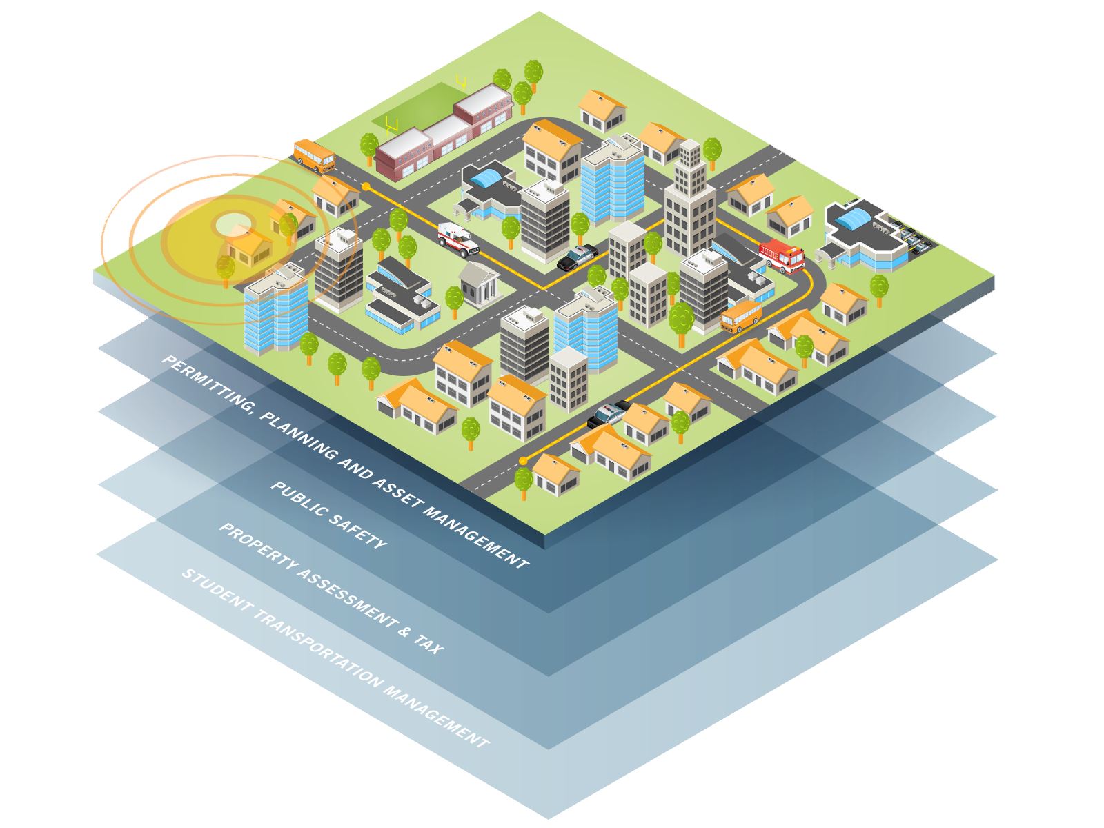
GIS software lets you produce maps and other graphic displays of geographic information for analysis and presentation. With these capabilities a GIS is a valuable tool to visualize spatial data or to build decision support systems for use in your organization.
A GIS stores data on geographical features and their characteristics. The features are typically classified as points, lines, or areas, or as raster images. On a map city data could be stored as points, road data could be stored as lines, and boundaries could be stored as areas, while aerial photos or scanned maps could be stored as raster images.
Geographic Information Systems store information using spatial indices that make it possible to identify the features located in any arbitrary region of a map. For example, a GIS can quickly identify and map all of the locations within a specified radius of a point, or all of the streets that run through a territory.
In addition to the above capabilities, it implements a professional-strength relational database, a feature critical for GIS software. Attribute data may be freely joined to and detached from geographic layers and tables. Relational data manipulation is integrated with robust and powerful geoprocessing for spatial queries, polygon overlay, and other location-based analyzes. This is supported seamlessly so that data are moved easily to and from relational tables and geographic databases.
Subscribe
Our Newsletter
337, Yash Arian, Swami Vivekanand Circle,
Nr. Subhash chowk,
Memnagar,
Ahmedabad-52,
Gujarat.
07946044309
About Us
HRP Infra Pvt. Ltd. a provider of Planning, Topographic Survey , Detailed design engineering, Structural Design, Third party inspection & PMC services
HRP Infra Pvt. Ltd is one of the leading consulting services provider.