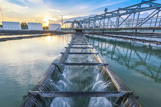
Evidence-based hydrological engineering to protect communities, infrastructure, and agriculture from the growing threat of extreme rainfall and flooding.
OVERVIEW
As urban areas expand and climate patterns intensify, effective stormwater and flood management has become a critical engineering challenge. HRP Infra applies advanced hydrological and hydraulic modelling, GIS-based catchment analysis, and proven infrastructure design to deliver solutions that reduce flood risk and manage surface water responsibly.
Our services span the full spectrum — from city-scale drainage master plans and flood hazard mapping to the detailed design of drainage channels, retention basins, and flood control embankments.
THE CHALLENGE
As impervious surfaces replace natural land, runoff volumes and peak flows increase sharply, overwhelming drainage systems not designed for current growth.
Climate change is increasing the frequency and severity of extreme rainfall, making previously adequate drainage infrastructure insufficient to protect lives and property.
Many existing drainage systems were designed for older rainfall data and lower population densities, requiring urgent assessment, rehabilitation, and upgrade.
WHAT WE OFFER
A complete range of stormwater and flood management services, from hydrological studies through to infrastructure delivery.
City- and town-scale drainage master plans with catchment delineation, design storm analysis, network capacity assessment, and prioritised capital works programmes.
Rainfall-runoff modelling using rational method, SCS-CN, and unit hydrograph methods, including frequency analysis for 2-year to 100-year return period design storms.
1D/2D hydraulic network simulation using HEC-RAS and SWMM for open channels, culverts, pipes, and floodplains to identify bottlenecks and size mitigation works.
GIS-integrated flood inundation mapping showing flood depth, velocity, and frequency for different return periods — essential for land use planning and emergency response.
Structural design of retention ponds, detention basins, flood embankments, revetments, and channel improvement works to reduce peak flood levels and protect assets.
Integration of sustainable drainage systems (SuDS), constructed wetlands, and upstream land management strategies to attenuate flows while delivering ecological benefits.
TOOLS & TECHNOLOGY
We use industry-leading hydraulic and hydrological software to produce defensible, simulation-backed designs.
USACE 1D/2D river hydraulics and floodplain modelling
EPA stormwater management model for urban drainage simulation
Hydrologic Engineering Center precipitation-runoff modelling
Geospatial analysis, catchment delineation, and flood mapping
INFRASTRUCTURE WE DESIGN
Underground and surface drainage conduits sized for peak design flows, including inlet structures, manholes, and outfall designs.
Above- and below-grade storage basins to attenuate peak stormwater runoff and reduce downstream flood risk.
Earth and masonry flood embankments with stability analysis, seepage control, and freeboard provision for specified flood return periods.
Widening, deepening, and lining of existing drainage channels using concrete, stone pitching, and vegetated linings to increase carrying capacity.
Design of road-side drains, kerb inlets, catch basins, and cross-drainage works to prevent road flooding and carriage-way damage.
SuDS elements including permeable paving, bio-swales, rain gardens, and green roofs to reduce runoff at source in new and retrofit developments.
CODES & STANDARDS
Stormwater and flood-management infrastructure is designed to CPHEEO drainage manuals, IS hydrology codes, and recognised modelling standards.
Our flood and stormwater engineers can assess your catchment, model flood scenarios, and design cost-effective mitigation solutions.