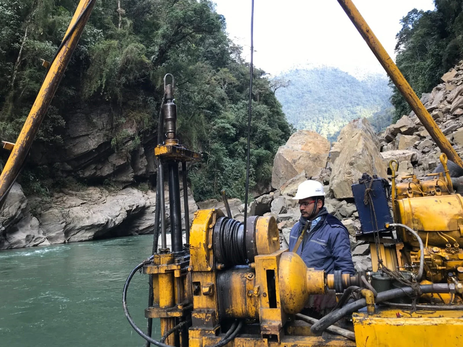
GPS-based PDI mapping for oil & gas pipelines across India — PNGRB-compliant location class determination and safety classification to meet regulatory requirements and protect communities.
What Is PDI Survey?
The Population Density Index (PDI) Survey is a mandatory regulatory requirement for all natural gas and petroleum pipelines in India. It involves systematically counting and geo-tagging all buildings intended for human occupancy within a defined corridor along the pipeline, to classify the pipeline segment into Location Classes 1 through 4.
The location class directly governs critical pipeline design parameters — wall thickness, hydrostatic test pressure, valve spacing, and leak detection sensitivity. HRP Infra has completed PDI surveys for IOCL, Torrent Gas, Sabarmati Gas, GSPC, and multiple City Gas Distribution operators across India.
GPS Geo-Tagged Data: Every building is recorded with latitude/longitude, photo, and classification — fully auditable and GIS-ready.
PNGRB-Ready Reports: Deliverables are structured to meet PNGRB submission formats for pipeline licence and integrity management compliance.
Urban Expansion Tracking: We re-survey corridors to capture location class upgrades due to urbanisation near Ahmedabad, Surat, and major metros.
Regulatory Framework
As mandated by PNGRB and ASME B31.8, PDI determines the Location Class which drives all pipeline design and safety parameters.
| Location Class | Building Count (per 1.6 km section) | Typical Area Type | Design Factor (Gas Pipeline) | Key Implications |
|---|---|---|---|---|
| Class 1 | 0 – 10 buildings | Rural / Wasteland / Offshore | 0.72 | Standard wall thickness; wider valve spacing permissible. |
| Class 2 | 11 – 45 buildings | Fringe areas, light industrial | 0.60 | Increased wall thickness; closer patrol intervals required. |
| Class 3 | 46+ buildings | Suburban housing, shopping areas | 0.50 | Higher hydrostatic test pressure; tighter valve spacing. |
| Class 4 | Multi-storey 4+ floors | City centres, dense urban | 0.40 | Most stringent design; ILI inspection mandatory; enhanced leak detection. |
Our PDI Services
From initial pipeline commissioning to periodic integrity updates — HRP Infra covers every phase of PDI compliance.
End-to-end GPS-based building count and geo-tagging for new pipeline projects, producing location class maps and PNGRB-compliant PDI reports for licence applications.
Periodic re-survey of existing pipeline corridors to identify class upgrades triggered by urbanisation, new housing colonies, or industrial development near Ahmedabad and other cities.
Full GIS integration of building data on pipeline alignment sheets, producing colour-coded location class maps in ArcGIS/QGIS for client GIS systems and regulatory submissions.
Specialised PDI surveys for City Gas Distribution (CGD) network corridors including steel and MDPE pipeline networks in Geographical Areas across Gujarat, Tamil Nadu, and Karnataka.
High-volume PDI surveys for long-distance cross-country natural gas and petroleum pipelines (ONGC, IOCL, GAIL) spanning multiple states and diverse terrain types.
Third-party review and audit of existing PDI data to verify accuracy, identify discrepancies, and update location class records as part of Pipeline Integrity Management Programme (IMP).
How We Do It
A rigorous, GPS-driven process that ensures every building is accurately counted, geo-tagged, and classified — delivering audit-ready PDI data.
Establish the 220-metre (or specified) study corridor on each side of the pipeline centerline using GPS coordinates and pipeline as-built drawings.
Divide the corridor into 1.6 km (1 mile) sections as per ASME B31.8 / PNGRB requirements for independent location class determination.
GPS traversal of corridor to count, geo-tag, and photograph every building intended for human occupancy, logging address, building type, and floors.
Import all geo-tagged data into GIS software to generate location class assignment maps overlaid on pipeline alignment sheets with colour coding.
Compile PNGRB-format PDI report with location class summary, GIS maps, photographic annex, and GPS data tables for regulatory submission and client records.
Why HRP Infra
With IOCL, Torrent Gas, and Sabarmati Gas in our client list, we understand the precision and compliance demands of pipeline PDI.
All HRP Infra PDI reports have been accepted by PNGRB without data queries or rejection — our format and methodology are regulator-proven.
Location class maps are provided as GIS shapefiles and AutoCAD DWG, compatible with client pipeline management systems.
With teams based in Ahmedabad and active in 15+ states, HRP Infra can mobilise PDI field teams within 5–7 days of work order.
Pipeline corridor data is handled under strict confidentiality agreements in line with security requirements of oil & gas infrastructure projects.
We maintain client PDI records and provide scheduled re-surveys, enabling seamless location class updates for pipeline IMP compliance.
Deep working knowledge of PNGRB Regulations, ASME B31.8, OISD-GDN-226, and IS standards for natural gas pipeline design and safety.
Project Portfolio
A selection of our delivered PDI survey projects for India's leading energy companies.
Indian Oil Corporation Limited
GPS-based PDI survey for the Right of Way corridor of SRPL spanning Tamil Nadu, Andhra Pradesh, and Karnataka — over 1,200 km covered.
Sabarmati Gas Limited
Comprehensive PDI mapping for steel and MDPE pipeline network across Gandhinagar and Mehsana Geographical Areas — 50+ sq. km corridor surveyed.
Torrent Gas Limited
PDI survey for steel pipeline Right of Way in Moradabad GA, including building classification across rapidly urbanising peri-urban zones.
PDI Explained
Everything you need to know about Population Density Index surveys for pipelines in India.
HRP Infra's experienced PDI teams cover all of India — from Gujarat's CGD networks to cross-country IOCL and GAIL pipelines. Get your project assessed today.