Engineering Survey

Cadastral Survey Services
in Gujarat & Across India

Legally precise land boundary mapping and right-of-way documentation that underpins land acquisition, corridor clearances, and statutory approvals for infrastructure projects across Gujarat and pan-India.

10,000+
Parcels Mapped
50+
Corridor Projects
15+
States Covered
20+
Years Experience

What is Cadastral Survey?

Defining Land
Boundaries with Legal Precision

A cadastral survey establishes or verifies the legal boundaries of land parcels along an infrastructure corridor. It maps survey numbers, khasra numbers, land-use categories, and ownership details by integrating official revenue records with precise GPS field measurements, creating a legally-referenced boundary map that is recognised by revenue authorities, courts, and statutory bodies.

For pipeline, highway, water supply, and utility corridor projects in Ahmedabad, Gujarat, and across India, cadastral surveys are foundational to land acquisition. They identify every landowner affected by the right-of-way, quantify the area of each parcel to be acquired or compensated, and produce the land schedule documentation required by district collectors and land acquisition officers under the RFCTLARR Act, 2013.

HRP Infra's cadastral survey teams work seamlessly with revenue departments to access current 7/12 extracts, patwari/khasra maps, and mutation records, integrating this data with GPS field verification to produce court-ready cadastral maps and ownership registers.
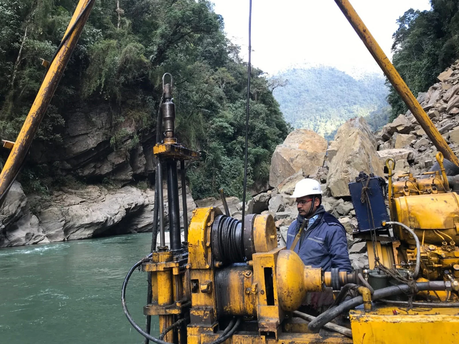
HRP Infra cadastral survey team mapping land boundaries for pipeline corridor in Gujarat
10,000+Parcels Mapped

Scope of Services

Our Cadastral Survey
Capabilities

End-to-end cadastral survey services from revenue record integration to court-admissible boundary documentation.

Land Parcel Boundary Mapping

GPS-verified mapping of all land parcel boundaries within the project corridor, correlated with official survey numbers and khasra records.

Right-of-Way (RoU) Delineation

Precise delineation of pipeline, highway, and utility RoU boundaries on cadastral maps, identifying affected parcels, areas, and ownership details.

Land Schedule Preparation

Preparation of parcel-wise land schedules listing survey number, khasra number, ownership, land-use classification, and area within the RoU for land acquisition filings.

Revenue Record Integration

Systematic integration of 7/12 extracts, village maps, mutation records, and revenue survey data to create verified cadastral datasets aligned with official records.

GIS-Based Cadastral Mapping

Georeferenced cadastral GIS layers with ownership attributes, enabling spatial analysis of land acquisition costs, legal encumbrances, and corridor impacts.

Land Acquisition Support Documentation

Preparation of 3A/3D notification schedules, Section 11 reports, and boundary dispute documentation as required under the RFCTLARR Act, 2013.

Why Choose HRP Infra

Advantages of Our
Cadastral Survey Services

  • Legally Defensible Documentation

    Our cadastral maps and land schedules are prepared to the evidentiary standards required by revenue courts and land acquisition authorities across Gujarat and India.

  • Revenue Department Coordination

    HRP Infra coordinates directly with patwaris, talati offices, and district revenue departments to obtain authentic records, minimising delays in land schedule preparation.

  • GIS-Enabled Cost Analytics

    GIS-linked cadastral data enables rapid computation of land acquisition costs by land-use category, ownership type, and district, supporting accurate project budgeting.

  • Integrated Survey Delivery

    Cadastral surveys are seamlessly combined with detailed engineering surveys, producing integrated strip plans that show both terrain and land boundary data on a single drawing set.

Legal Compliance & Revenue Expertise

HRP Infra's cadastral specialists have extensive experience navigating Gujarat's revenue survey system — including SoI topographic sheets, DILR records, and e-Dhara databases — as well as revenue systems in Rajasthan, Tamil Nadu, Karnataka, and Uttar Pradesh. We ensure all cadastral deliverables align with state-specific revenue codes and land acquisition legislation.

Our work for city gas distribution companies, oil pipeline operators, and government water supply projects has produced land acquisition documentation accepted by district collectors and PSU legal teams across 15+ Indian states.

RFCTLARR Act, 2013Revenue Records (7/12)DGPS Total StationArcGISe-Dhara GujaratLand Schedule PrepRoU Documentation

Our Methodology

Cadastral Survey Workflow

01

Revenue Record Procurement

Collection of village survey maps, 7/12 extracts, khasra records, and mutation entries from revenue offices.

02

Field Boundary Survey

GPS-based field verification of parcel boundaries, corner markers, and land-use within the RoU corridor.

03

Record Reconciliation

Reconciling field-measured boundaries with revenue records to identify discrepancies and disputed parcels.

04

GIS Integration

Creation of georeferenced cadastral GIS layers with ownership, land-use, and survey number attributes.

05

Land Schedule & Report

Preparation of parcel-wise land schedules, cadastral strip plans, and supporting documentation for land acquisition.

Our Work

Cadastral Survey Project Highlights

Torrent Gas Limited

Cadastral Survey — Moradabad City Gas Distribution

Comprehensive cadastral survey and land schedule preparation for steel and MDPE pipeline RoU across Moradabad GA, covering hundreds of land parcels across multiple revenue circles.

City Gas DistributionRoU MappingLand Schedule

Indian Oil Corporation Ltd.

Cadastral Mapping — SRPL Pipeline Corridor

GPS-integrated cadastral mapping along the SRPL pipeline RoU spanning Tamil Nadu, Andhra Pradesh, and Karnataka, with state-specific revenue record integration.

Multi-State PipelineRevenue IntegrationGIS Mapping

Water Supply Projects — Gujarat

Cadastral Survey for Water Transmission Mains — Gujarat

Land boundary mapping and ownership documentation for water transmission main corridors across multiple Gujarat districts, prepared per GWSSB and land acquisition authority requirements.

Water SupplyGujarat RevenueGWSSB Standards

Common Questions

Frequently Asked Questions

What is a cadastral survey?
A cadastral survey establishes or verifies the legal boundaries of land parcels by mapping ownership, survey numbers, and boundary demarcations using revenue records and GPS field measurements. For infrastructure projects, it identifies all land parcels within the corridor for right-of-way acquisition.
Why is cadastral survey important for pipeline projects?
Cadastral surveys identify exact landowners, survey numbers, and land-use within the RoU. This data directly supports land acquisition notifications, compensation calculations, and statutory approvals from revenue authorities under the RFCTLARR Act, 2013.
What revenue records does HRP Infra use?
HRP Infra integrates 7/12 extracts, mutation records, khasra/patwari maps, and village survey records with GPS field surveys to produce cadastral maps aligned with official revenue databases like Gujarat's e-Dhara system.
Can cadastral data be used for land acquisition?
Yes. HRP Infra prepares parcel-wise ownership tables, land-use classification, and GIS-linked cadastral maps in the formats required by land acquisition authorities under the RFCTLARR Act, 2013, including 3A/3D notification schedules.
What is the difference between cadastral and topographic survey?
A topographic survey maps terrain and physical features. A cadastral survey maps legal land ownership boundaries, survey numbers, and property records. Infrastructure projects typically require both, and HRP Infra delivers integrated surveys combining both datasets on a single strip plan.

Land Acquisition Support?

Our cadastral survey team can assist with boundary mapping, land schedule preparation, and coordination with revenue authorities to accelerate your project's land acquisition process.

Contact Our Team

+91 90168 20264

info@hrpinfra.com

Legally Precise Land Data for Every Corridor

HRP Infra's cadastral survey services accelerate land acquisition, reduce legal risks, and deliver revenue-authority-accepted documentation for infrastructure projects across Gujarat and all of India.