Engineering Survey

Detailed Engineering Survey
in Gujarat & Across India

Millimeter-accurate field data collection for precise engineering design, route finalization, and construction-ready deliverables — powering infrastructure projects across oil & gas, water, highways, and irrigation sectors.

1000+
km Detailed Surveys
75+
Projects Completed
±5cm
Horizontal Accuracy
20+
Years Experience

What is Detailed Engineering Survey?

Engineering Precision
at Every Meter

A detailed engineering survey is the high-accuracy, comprehensive data collection exercise that follows route/corridor finalization. It produces the precise measurements — cross-sections, longitudinal profiles, utility crossing details, structure locations, and cadastral boundaries — that form the direct input for engineering design and drawing preparation.

For infrastructure projects in Ahmedabad, Gujarat, and across India, a properly executed detailed engineering survey eliminates design discrepancies, reduces contractor variation orders, and supports accurate cost estimation. HRP Infra's survey teams use DGPS total stations, drone-based LiDAR, and field-validated GIS integration to deliver results that meet CPHEEO, IRC, and MoPNG technical standards.

Whether it's a city gas distribution network, a municipal water supply scheme, a national highway bypass, or a cross-country oil pipeline, our detailed surveys ensure your engineering design is built on verified, high-resolution field data.
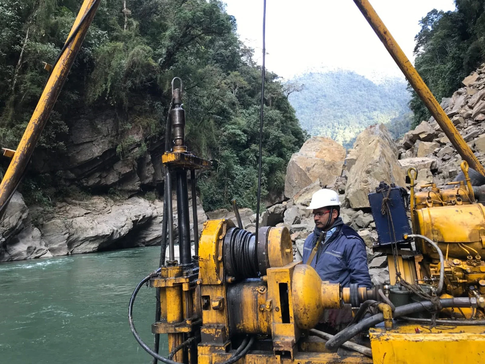
HRP Infra engineers conducting detailed engineering survey with total station in Gujarat
±5cmField Accuracy

Scope of Services

What Our Detailed Survey
Covers

A complete, survey-to-delivery package covering every data element needed for engineering design and construction documentation.

Longitudinal & Cross-Section Survey

Precise L-section and cross-sectional data at defined intervals (typically 20–50m) for earthwork calculations, pipeline grading, and road design.

Utility Mapping & Crossing Details

Underground and overground utility identification, location, and crossing documentation for gas, water, power, telecom, and drainage infrastructure.

Alignment Plan Preparation

Detailed strip plans showing the finalized corridor with all features, boundaries, structures, and utility crossings at 1:2000 or client-specified scale.

Structure & Crossing Survey

Detailed survey of bridges, culverts, road crossings, railway crossings, and canal crossings along the project corridor.

GIS Database Creation

Integration of all survey data into a structured GIS database with georeferenced layers in ArcGIS/QGIS format, with KML and SHP file deliverables.

Detailed Survey Report

Comprehensive reporting including methodology, accuracy verification, coordinate data, drawings, and a structured data appendix as per client and statutory requirements.

Why Choose HRP Infra

Advantages of Our
Detailed Survey Expertise

  • Sub-Centimetre Accuracy

    DGPS-based control networks and calibrated total stations deliver horizontal accuracy of ±5cm and vertical accuracy of ±3cm — suitable for all engineering design applications.

  • Integrated Design Workflow

    Survey data is delivered in AutoCAD, Civil 3D, and GIS formats, enabling seamless integration with design teams without data conversion delays.

  • Standards Compliance

    All surveys are conducted and reported in accordance with BIS, CPHEEO, IRC, and MoPNG specifications, ensuring acceptance by statutory authorities and PSU clients.

  • Faster Project Timelines

    Drone-assisted data collection and real-time GIS processing reduce field-to-office turnaround, cutting survey completion time by up to 40% versus traditional methods.

E-E-A-T: Our Survey Credentials

HRP Infra's survey division comprises certified geomatics engineers and field surveyors with extensive experience on projects for IOCL, GAIL, GSPCL, Torrent Gas, Sabarmati Gas Limited, and GWSSB. We have executed detailed surveys for oil & gas pipelines, city water supply schemes, irrigation canals, and national highway projects across Gujarat, Rajasthan, Tamil Nadu, Karnataka, and Uttar Pradesh.

Our methodology complies with CPHEEO manual standards, MoPNG technical specifications, and IRC survey guidelines, ensuring deliverables that meet the exacting standards of India's leading PSUs and engineering consultants.

DGPS Total Station Drone LiDAR AutoCAD / Civil 3D ArcGIS / QGIS CPHEEO Standards MoPNG Specs IRC Guidelines

Our Methodology

Detailed Survey Workflow

01

Control Network Setup

Establishing primary and secondary control benchmarks with DGPS for high-accuracy reference framework.

02

Field Data Collection

Total station and drone-based capture of terrain, structures, utilities, and alignment features at required density.

03

Data Verification

In-field quality checks, closure adjustments, and data validation against established control points.

04

Drawing & GIS Production

L-sections, cross-sections, alignment plans, and GIS layers produced in AutoCAD and ArcGIS environments.

05

Report & Submission

Final survey report with all drawings, data appendices, coordinate lists, and accuracy certificates.

Our Work

Project Highlights

Torrent Gas Limited

Detailed Engineering Survey — Moradabad GA

Comprehensive detailed survey for steel and MDPE pipeline design across Moradabad Geographical Area including alignment plans, L-sections, and cadastral mapping.

Pipeline Design SurveyCadastral MappingCity Gas

Sabarmati Gas Limited

Detailed Topographic & Engineering Survey — Gujarat

Detailed survey for 50+ sq. km gas network in Gandhinagar & Mehsana covering pipeline crossings, utility mapping, and design-ready GIS deliverables.

Gujarat NetworkGIS DeliverablesUtility Mapping

GWSSB / Water Infrastructure

Water Supply Pipeline Detailed Survey — Various Locations

Detailed engineering surveys for water supply transmission mains and distribution networks across multiple Gujarat districts, per CPHEEO manual standards.

Water SupplyCPHEEO StandardsTransmission Main

Common Questions

Frequently Asked
Questions

What is a detailed engineering survey?
A detailed engineering survey is a comprehensive field data collection exercise that captures precise terrain measurements, utility locations, and alignment details for use in engineering design and drawing preparation.
What is the difference between reconnaissance and detailed engineering survey?
Reconnaissance survey is a preliminary, broad-level corridor assessment, whereas detailed engineering survey collects precise high-accuracy data over a finalized alignment, producing cross-sections, L-sections, utility maps, and construction-grade drawings.
How accurate are HRP Infra's detailed engineering surveys?
HRP Infra achieves horizontal accuracy of ±5cm and vertical accuracy of ±3cm using calibrated DGPS total station equipment and control networks established to BIS standards.
What deliverables are produced from a detailed engineering survey?
Deliverables include alignment/strip plans, longitudinal section drawings, cross-sections, utility crossing details, cadastral maps, GIS databases (SHP/KML), and a comprehensive survey report.
Does HRP Infra perform detailed surveys for water supply projects?
Yes. HRP Infra has conducted detailed engineering surveys for water supply, sewerage, and irrigation projects across Gujarat and other states, following CPHEEO manual guidelines and GWSSB specifications.

Discuss Your Survey Requirements

Our team of certified survey engineers is ready to design a detailed survey plan matched precisely to your project's technical requirements and timeline.

Contact Our Team

+91 90168 20264

info@hrpinfra.com

Build with Confidence on Verified Survey Data

HRP Infra's detailed engineering surveys give your design team the accurate, standards-compliant data they need — delivered on time, across Gujarat and all of India.