Engineering Survey

Topography Survey Services
in Gujarat & Across India

High-accuracy terrain mapping, contour surveys, and Digital Elevation Models to support hydraulic design, earthwork optimization, and infrastructure corridor planning across diverse terrain types.

500+
sq. km Surveyed
60+
Projects Completed
0.5m
Contour Interval
20+
Years Experience

What is Topography Survey?

Mapping the Terrain
in Three Dimensions

A topographic survey captures both natural features — hills, valleys, water bodies, vegetation — and man-made features such as roads, buildings, walls, and drainage systems, recording their precise positions and elevations. The resulting topographic map and Digital Elevation Model (DEM) form the backbone of engineering design across all infrastructure sectors.

In Ahmedabad, Gujarat, and across India, HRP Infra's topographic surveys serve water supply schemes, stormwater drainage systems, irrigation canal alignments, highway bypass designs, and industrial area development plans. Using drone photogrammetry, LiDAR scanning, and DGPS total station networks, we deliver sub-decimeter terrain models that power accurate hydraulic modelling, cut-and-fill estimates, and route optimization.

Our surveys comply with CPHEEO manual specifications and BIS standards, and our deliverables are compatible with leading hydraulic, drainage, and civil design software platforms.
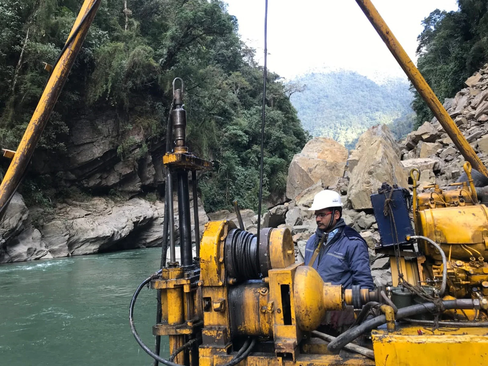
HRP Infra topography survey team mapping terrain with drone in Gujarat
DEMDigital Elevation Models

Scope of Services

Our Topography Survey
Capabilities

From small site surveys to large-area terrain mapping — our topographic services cover every project type and scale.

Contour Mapping

Precise contour line generation at specified intervals (0.5m, 1m, 2m) for drainage design, road grading, and earthwork volume calculations.

Digital Elevation Models (DEM)

High-resolution 3D terrain models produced from drone photogrammetry or LiDAR data, suitable for hydraulic modelling and earthwork software.

Drone-Based Topographic Survey

UAV-assisted large-area topography surveys delivering dense point clouds, orthophoto mosaics, and DSMs at ground resolutions of 2–5 cm.

Drainage & Watershed Analysis

Terrain analysis to delineate drainage catchments, identify flood-prone zones, and support stormwater management design per CPHEEO guidelines.

Site Development Surveys

Topographic surveys for industrial sites, township developments, and facility layouts in Ahmedabad and across Gujarat for site grading and planning.

Multi-Format GIS Deliverables

Survey outputs provided in AutoCAD DWG, Civil 3D, ArcGIS SHP, KML, and GeoTIFF formats for seamless design team integration.

Why Choose HRP Infra

Why Our Topographic
Surveys Stand Out

  • Drone-Accelerated Coverage

    UAV-assisted surveying can cover 50–100 hectares per day, cutting field time dramatically for large-scale infrastructure projects.

  • Hydraulic-Ready Data

    DEM and contour data are formatted for direct import into SWMM, MIKE FLOOD, and CivilCAD for hydraulic and drainage design.

  • Sub-Decimetre Accuracy

    Ground control point-verified drone surveys achieve ±5cm horizontal and ±8cm vertical accuracy, suitable for all engineering applications.

  • CPHEEO & BIS Compliant

    Survey methodology, accuracy specifications, and report format comply with CPHEEO manual and BIS standards for acceptance by statutory authorities.

Survey Technology & Standards

HRP Infra's topographic surveys leverage state-of-the-art drone photogrammetry, LiDAR-equipped UAVs, and DGPS total station networks to produce terrain models that exceed Indian infrastructure survey standards. Our survey teams have completed topographic work for projects across Gujarat's varied terrain — from Ahmedabad's flat urban expanse to the undulating Aravalli foothills and coastal regions.

All deliverables are accompanied by accuracy reports, ground control point documentation, and quality certification as required by CPHEEO manuals and PSU project specifications.

Drone PhotogrammetryLiDAR UAVDGPS Total StationAutoCAD Civil 3DCPHEEO StandardsBIS ComplianceArcGIS

Our Methodology

Topographic Survey Workflow

01

Control Network & GCPs

Establish DGPS control benchmarks and ground control points (GCPs) for geodetic accuracy.

02

Field Data Capture

Drone photogrammetry or total station survey of terrain features, elevations, and man-made structures.

03

Point Cloud Processing

Agisoft/Pix4D processing of drone imagery into dense point clouds, orthophotos, and DSMs.

04

Contour & DEM Generation

Contour lines and Digital Elevation Models produced at specified intervals and resolutions.

05

GIS Integration & Delivery

Final topographic maps and GIS layers delivered in client-specified formats with accuracy reports.

Our Work

Topography Survey Project Highlights

Sabarmati Gas Limited

Topographic Survey — Gandhinagar & Mehsana, Gujarat

Detailed topographic survey covering 50+ sq. km for gas pipeline network design in Gandhinagar and Mehsana districts, including contour maps and utility feature mapping.

50+ sq. kmContour MappingGujarat

Municipal Water Supply Projects

Stormwater & Drainage Topographic Survey — Gujarat

Topographic surveys for stormwater master planning and drainage network design across multiple Gujarat municipalities, producing DEMs and watershed delineation maps.

Stormwater DesignDEM ProductionCPHEEO Standards

Irrigation & Water Resources

Canal Corridor Topographic Survey — Rajasthan

Comprehensive topographic survey for irrigation canal corridor alignment covering 80+ km in Rajasthan, including cross-sections, L-sections, and borrow area identification.

Irrigation80+ km CorridorCross-Sections

Common Questions

Frequently Asked Questions

What is a topography survey?
A topography survey maps the natural and man-made features of a land surface, recording precise elevations, contour lines, drainage patterns, and terrain characteristics to produce topographic maps and Digital Elevation Models for engineering design.
What is the difference between topography and engineering survey?
Topography survey focuses specifically on mapping terrain shape and elevation, while a detailed engineering survey is broader — capturing terrain plus utilities, structures, cadastral boundaries, and alignment-specific data for infrastructure design.
What is a Digital Elevation Model (DEM)?
A DEM is a 3D terrain representation derived from survey data. It is essential for drainage analysis, flood modelling, cut-and-fill calculations, pipeline grading, and route optimization in infrastructure design.
Can HRP Infra survey large areas efficiently?
Yes. Using drone photogrammetry and LiDAR technology, HRP Infra surveys large areas — up to several hundred square kilometres — delivering high-density point clouds and orthophoto mosaics suitable for large infrastructure projects.
Is topography survey required for water supply projects?
Yes. Topographic surveys are essential for water supply, sewerage, and stormwater drainage design, providing terrain data for hydraulic design, pipe gradient calculations, and manhole depths as per CPHEEO manual standards.
What formats are topography survey deliverables provided in?
HRP Infra delivers topography outputs in AutoCAD DWG, Civil 3D, ArcGIS SHP, KML, GeoTIFF, and PDF formats, with contour maps at client-specified intervals (typically 0.5m, 1m, or 2m).

Need a Topographic Survey?

HRP Infra's experienced team will design a terrain mapping solution tailored to your project's scale, accuracy requirements, and design software specifications.

Contact Our Team

+91 90168 20264

info@hrpinfra.com

Accurate Terrain Data for Confident Infrastructure Design

HRP Infra's topographic surveys give your design teams the precise terrain intelligence they need — delivered from Ahmedabad, Gujarat, and across India with drone speed and GPS precision.