Engineering Survey

Hydrographic Survey Services
in Gujarat & Across India

Precision bathymetric mapping and underwater terrain surveys for dam sedimentation assessment, bridge crossings, irrigation reservoirs, and water infrastructure — delivered with GPS-integrated echo sounding technology.

30+
Water Bodies Surveyed
500+
km River Crossings
±5cm
Depth Accuracy
20+
Years Experience

What is Hydrographic Survey?

Mapping What Lies
Beneath the Water

A hydrographic survey measures and maps the physical characteristics of water bodies — rivers, reservoirs, lakes, and coastal waters — including water depth (bathymetry), underwater terrain morphology, sedimentation deposits, current profiles, and shoreline geometry. The resulting data is essential for safe navigation, dam safety monitoring, infrastructure crossing design, and flood modelling.

For infrastructure projects in Ahmedabad, Gujarat, and pan-India — whether oil and gas pipeline river crossings, bridge foundation surveys, dam capacity assessments, or irrigation reservoir desilting studies — HRP Infra provides GPS-integrated hydrographic surveys using single-beam and multi-beam echo sounders mounted on survey vessels or portable survey platforms.

Our surveys comply with CWC guidelines for reservoir capacity surveys, IS codes for hydrographic surveying, and MoPNG standards for pipeline crossing surveys, ensuring deliverables are accepted by dam safety authorities, district administrations, and PSU engineering departments.
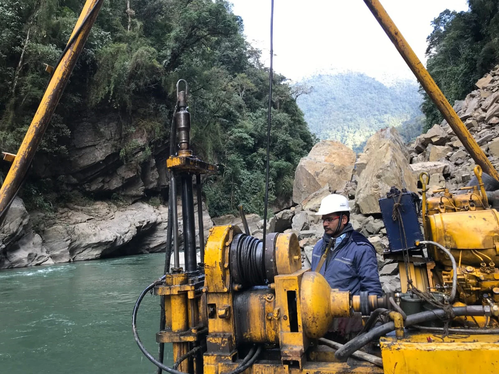
HRP Infra hydrographic survey boat conducting bathymetric survey on Gujarat reservoir
EchoSounder Technology

Scope of Services

Our Hydrographic Survey
Capabilities

Comprehensive underwater mapping services tailored to dam monitoring, pipeline crossings, bridge design, and water resource management.

Bathymetric / Reservoir Capacity Survey

Echo sounder-based depth mapping of reservoirs to determine current storage capacity, sedimentation volumes, and capacity loss since last survey — required periodically by CWC and dam safety authorities.

Bridge & Crossing Site Survey

Detailed riverbed profiling at proposed bridge, culvert, and pipeline crossing sites to determine scour depth, bed levels, and cross-sectional geometry for foundation and crossing design.

Pipeline River Crossing Survey

Hydrographic surveys at river and canal crossings for oil, gas, and water pipelines — providing riverbed profiles and scour estimates as required by MoPNG and IS codes.

Flood & Hydraulic Modelling Support

River channel geometry data collection to support 1D and 2D hydraulic models (HEC-RAS, MIKE FLOOD) for flood frequency analysis and infrastructure safety assessment.

Sedimentation & Scour Assessment

Periodic bathymetric surveys to track sedimentation trends in reservoirs and scour development at hydraulic structures, supporting operation and maintenance decisions.

Hydrographic Survey Reports & Charts

Submission of bathymetric charts, depth contour maps, volume computations, cross-section drawings, and detailed survey reports in DWG, GIS, and PDF formats.

Why Choose HRP Infra

Advantages of Our
Hydrographic Survey Services

  • GPS-Integrated Echo Sounding

    Real-time RTK-GNSS positioning combined with echo sounder data delivers simultaneously georeferenced depth readings with ±5cm vertical accuracy throughout the water body.

  • CWC-Compliant Reservoir Surveys

    Our reservoir capacity surveys follow Central Water Commission (CWC) methodology for sedimentation assessment, producing volume computations accepted by dam safety authorities and state irrigation departments.

  • Flexible Survey Platform

    From large reservoirs requiring motorized survey boats to shallow river crossings where wading surveys or inflatable boats are appropriate — HRP Infra deploys the right survey platform for each site.

  • Design-Ready 3D Terrain Data

    Bathymetric point cloud data is processed into 3D terrain models compatible with HEC-RAS, MIKE FLOOD, AutoCAD, and civil design software for immediate use by engineering teams.

CWC, IS Codes & MoPNG Compliance

HRP Infra's hydrographic survey methodology adheres to Central Water Commission guidelines for reservoir capacity surveys, IS 4890 for survey of rivers and streams, and MoPNG technical specifications for pipeline crossing surveys. Our equipment is regularly calibrated and our survey personnel trained in maritime survey safety practices.

We have conducted hydrographic surveys for irrigation department reservoirs, oil and gas pipeline river crossings, and municipal water supply intake site surveys across Gujarat, Rajasthan, Tamil Nadu, and other states — with deliverables accepted by state governments, PSUs, and independent engineering reviewers.

Echo Sounder (SBES/MBES)RTK-GNSSCWC GuidelinesIS 4890MoPNG StandardsHEC-RAS CompatibleSurvey Boat / UAV

Our Methodology

Hydrographic Survey Workflow

01

Site Reconnaissance

Shoreline survey, control benchmark establishment, and survey vessel/platform deployment planning.

02

Echo Sounder Calibration

Bar check and velocity of sound calibration, RTK-GNSS base station setup for real-time positioning.

03

Systematic Depth Measurement

Continuous GPS-referenced depth profiling along pre-planned survey lines at specified spacing.

04

Data Processing

Tide/water-level correction, noise filtering, and point cloud QC to produce bathymetric dataset.

05

Charts, Volume & Report

Bathymetric contour charts, volume computations, and survey report submission in required formats.

Our Work

Hydrographic Survey Project Highlights

Oil & Gas Pipeline Projects

River Crossing Hydrographic Surveys — Multiple States

Bathymetric surveys at river crossings for oil and gas transmission pipelines across Gujarat, Rajasthan, and South India, providing riverbed profiles and scour design parameters per MoPNG standards.

Pipeline CrossingsScour AssessmentMoPNG Standards

State Irrigation Departments

Reservoir Capacity Assessment — Gujarat Dams

Periodic bathymetric surveys of irrigation reservoirs in Gujarat to assess sedimentation loss and current live/dead storage capacity, following CWC methodology for dam safety reporting.

Reservoir BathymetryCWC MethodologySedimentation Study

Bridge & Infrastructure Projects

Bridge Site Hydrographic Surveys — Highway Projects

Detailed hydrographic surveys at bridge crossing sites for highway projects, providing riverbed cross-sections, thalweg profiles, and HEC-RAS compatible geometry data for hydraulic design.

Bridge DesignHEC-RAS DataRiverbed Profiles

Common Questions

Frequently Asked Questions

What is a hydrographic survey?
A hydrographic survey measures and maps the physical features of water bodies — including water depth, underwater terrain, sedimentation levels, and shoreline characteristics — for infrastructure design, dam monitoring, navigation, and flood modelling.
Why is hydrographic survey important for dam projects?
For dam projects, hydrographic surveys determine current storage capacity by measuring sedimentation accumulation since dam construction. This data guides desilting decisions, operational rule curves, and dam safety assessments. Periodic surveys are required by CWC guidelines.
What technology does HRP Infra use for hydrographic surveys?
HRP Infra uses single-beam and multi-beam echo sounders combined with RTK-GNSS positioning to produce high-accuracy bathymetric charts. For shallow water sites, pole-mounted transducers and GPS-integrated platforms are deployed.
What is bathymetric mapping?
Bathymetric mapping charts water depth to produce depth contour maps and 3D models of the riverbed or reservoir floor — the underwater equivalent of topographic mapping. It is essential for dam design, bridge foundations, pipeline crossings, and flood simulation.
Can HRP Infra conduct surveys for pipeline river crossings?
Yes. HRP Infra conducts detailed hydrographic surveys at river and canal crossings for oil, gas, and water pipelines — providing riverbed profiles, scour depth estimates, and crossing design parameters as required by MoPNG and IS codes.

Plan a Hydrographic Survey?

Whether you need reservoir capacity assessment, pipeline crossing surveys, or bridge site bathymetric mapping, our team is ready to design a precise hydrographic survey solution for your project.

Contact Our Team

+91 90168 20264

info@hrpinfra.com

Trusted Hydrographic Survey Expertise Across India

From dam sedimentation studies to pipeline river crossings — HRP Infra delivers CWC-compliant, GPS-accurate hydrographic surveys that meet the standards of India's leading water infrastructure authorities and PSUs.