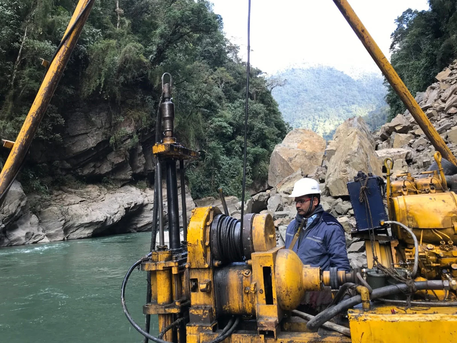
Preliminary site assessment and route feasibility investigations for infrastructure projects across Ahmedabad, Gujarat, and pan-India — identifying terrain constraints before you invest in detailed surveys.
What Is Reconnaissance Survey?
A reconnaissance survey is the foundational phase of every infrastructure project. Before detailed engineering begins, our experts physically traverse the project corridor to evaluate terrain, land use, obstacles, and alternative routes — delivering critical data that shapes project feasibility and cost estimates.
HRP Infra's reconnaissance teams operate across Gujarat and all major Indian states, equipped with GPS instruments, drone-assisted aerial views, and satellite imagery analysis to produce accurate preliminary assessments for pipelines, highways, water supply networks, and irrigation schemes.
GPS + Drone Assisted: Real-time positioning and aerial imagery reduce fieldwork time by up to 40%.
Multi-Route Analysis: We evaluate 2–3 route alternatives so you choose the most cost-effective alignment.
BIS & MoEF Compliance: All assessments adhere to Bureau of Indian Standards and regulatory guidelines.
Our Capabilities
From pipeline corridors to dam sites — HRP Infra covers every category of preliminary survey needed for infrastructure development in India.
Systematic walkover and satellite-aided assessment of proposed pipeline, road, or utility corridors to identify alignment constraints, land acquisition needs, and crossing challenges.
Evaluation of proposed facility sites — pump stations, treatment plants, substations — for geotechnical suitability, access, utilities, and regulatory setback compliance.
UAV-based aerial surveys combined with high-resolution orthomosaic mapping to cover difficult or inaccessible terrain rapidly and safely.
Cataloguing rivers, highways, railways, forests, utilities, and built-up areas within the project corridor — essential for crossing design and environmental clearances.
Comparative analysis of two or more route alternatives with cost, constructability, and environmental impact scoring to recommend the optimal alignment.
Geo-tagged photographic records and video documentation of the project corridor, suitable for DPR submissions, client presentations, and regulatory approvals.
Our Methodology
A structured, phased approach that maximises data quality while minimising project preparation time.
Phase 01
Review of toposheet maps, satellite imagery, Google Earth, and existing project reports to identify the preliminary corridor and key challenges before field mobilisation.
Phase 02
Ground-truth validation of the proposed corridor with GPS traverse, obstacle logging, and photographic documentation at regular intervals and key crossing points.
Phase 03
UAV-based aerial reconnaissance for inaccessible or dense-forest areas, generating orthomosaic imagery and preliminary digital terrain models of the corridor.
Phase 04
Comparative tabulation of route alternatives based on length, crossings, land acquisition area, environmental sensitivity, and estimated cost — presented with scoring matrix.
Phase 05
Submission of a comprehensive Reconnaissance Report with recommended alignment, preliminary maps, photographic annex, and input data for DPR / detailed engineering survey.
Why HRP Infra
Trusted by IOCL, GAIL, Torrent Gas, and Gujarat Jal Boards — here's what makes HRP Infra the preferred survey partner.
Early identification of obstacles reduces design changes during execution, accelerating regulatory approvals and financial closures.
Selecting the right alignment from the start can reduce construction costs by 10–30% by avoiding expensive crossings and land acquisition.
Civil engineers, GIS specialists, and environmental experts working together to deliver integrated reconnaissance assessments.
Active field teams in Gujarat, Rajasthan, Tamil Nadu, Andhra Pradesh, UP and more — enabling rapid site mobilisation nationwide.
Reconnaissance outputs are structured as direct inputs for our DPR & Detailed Engineering Survey teams — no handover friction.
All survey work follows BIS standards and CPHEEO manual guidelines, ensuring outputs are accepted by government and regulatory bodies.
E-E-A-T: Tools & Standards
HRP Infra invests in industry-leading survey technology to deliver data you can trust.
Got Questions?
Everything you need to know about reconnaissance survey services in India.
From Ahmedabad to any corner of India — our teams mobilise fast. Get a project-specific consultation from HRP Infra's survey experts today.