Millimeter-accurate survey data for infrastructure design — using DGPS, Total Station, drone photogrammetry, and GIS technologies across Ahmedabad, Gujarat, and India.
Accurate survey data is the foundation of every successful infrastructure project. HRP Infra Pvt. Ltd., headquartered in Ahmedabad, Gujarat, delivers millimeter-accurate engineering surveys using DGPS, Robotic Total Stations, drone photogrammetry, and echo sounders for pipeline corridors, highways, water supply networks, dams, and urban infrastructure.
Our survey teams integrate field data with AutoCAD Civil 3D and GIS platforms to deliver comprehensive deliverables — from topographic maps and cadastral plans to PDI reports and hydrographic cross-sections — all compliant with Survey of India standards and client specifications.
HRP Infra has surveyed 10,000+ km of pipeline corridors, road alignments, and canal networks across 12+ states — serving IOCL, HPCL, BPCL, Torrent Gas, and state PWDs.
Comprehensive survey capabilities for every infrastructure project — from initial reconnaissance through detailed engineering surveys.
Initial site assessment and preliminary mapping to identify key features, constraints, and optimal route/site selection for pipeline, road, and water infrastructure projects.
Explore DetailsComprehensive DGPS and Total Station surveys for precise alignment, profile, and cross-section data — forming the engineering foundation for infrastructure design.
Explore DetailsAccurate mapping of natural and artificial features including contours, elevations, terrain characteristics, and surface features using DGPS and drone photogrammetry.
Explore DetailsLegal land boundary mapping using DGPS for property lines, right-of-way demarcation, ownership identification, and revenue record verification for land acquisition projects.
Explore DetailsGPS-based PDI mapping for pipeline corridors to classify areas under OISD-226 norms — enabling proper safety zone design and regulatory compliance for oil & gas pipelines.
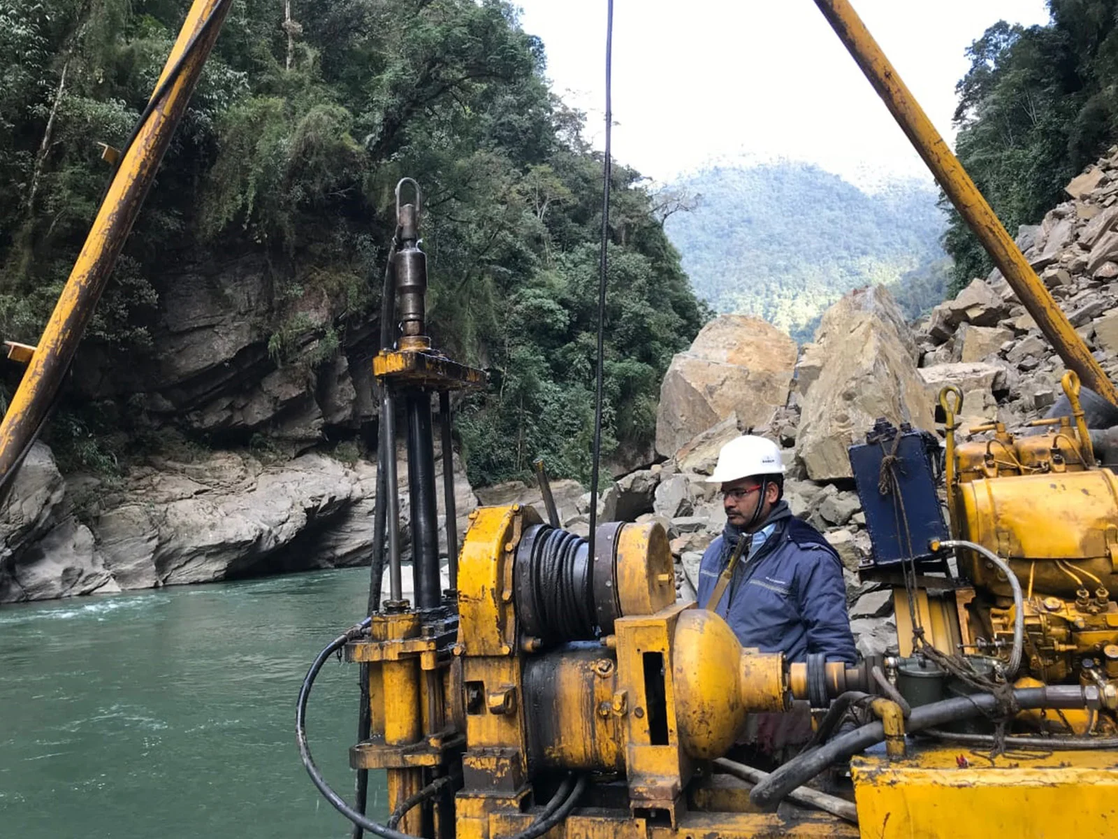
Explore DetailsMapping underwater terrain and water body bathymetry using echo sounders for dam sites, bridge crossings, river intakes, and coastal infrastructure engineering.
Explore DetailsHRP Infra manages every stage of the survey process — from project briefing to final deliverable submission.
Understanding client requirements, project scope, accuracy specifications, deliverable formats, and mobilisation planning with equipment calibration verification.
Preliminary site reconnaissance, establishing primary control network using DGPS, benchmark verification, and identifying survey access constraints.
Systematic DGPS and Total Station surveys capturing alignment, profile, cross-sections, spot levels, and feature mapping with millimeter accuracy.
Office processing using AutoCAD Civil 3D, GIS software, and custom scripts with multi-level quality checks to ensure data integrity and accuracy compliance.
Generating survey plans, contour maps, L-sections, cross-sections, cadastral maps, GIS databases, and technical reports in client-specified formats.
Client review cycles, query resolution, final corrections, and submission of approved deliverables with metadata documentation and archive protocols.
Recent engineering survey projects delivered by HRP Infra across India.
Torrent Gas Limited
Comprehensive DGPS survey for laying steel/MDPE pipeline in Moradabad Geographical Area, including cadastral mapping and crossing details.
Indian Oil Corporation Limited
GPS-based PDI mapping for the Salaya-Ramagundam pipeline Right of Way across Tamil Nadu, Andhra Pradesh, and Karnataka under OISD-226.
Sabarmati Gas Limited
Detailed survey for steel pipeline network covering 50+ sq. km including crossing identifications and alignment for city gas distribution network.
Trusted by IOCL, HPCL, BPCL, Torrent Gas, and state governments for precision survey delivery across India.
Multiple DGPS receivers, Robotic Total Stations, and echo sounders — owned in-house for rapid mobilisation and consistent accuracy.
Survey data processed to sub-centimeter accuracy with multi-level quality control — meeting Survey of India and international standards.
UAV-based aerial surveys for large-area topographic mapping, volumetric analysis, and progress monitoring with rapid turnaround.
Survey teams across 12+ states with rapid mobilisation capability — serving pipeline, road, water, and irrigation sectors nationally.
All survey data integrated with GIS platforms for seamless handover to design teams — supporting AutoCAD, QGIS, and ArcGIS workflows.
PDI surveys follow OISD-226 norms. All surveys comply with BIS, Survey of India standards, and client-specific QA/QC requirements.
Expert answers to common queries about engineering survey services in Gujarat and India.
HRP Infra's expert survey teams in Ahmedabad, Gujarat deliver millimeter-accurate data for your infrastructure project — from reconnaissance through detailed engineering surveys.